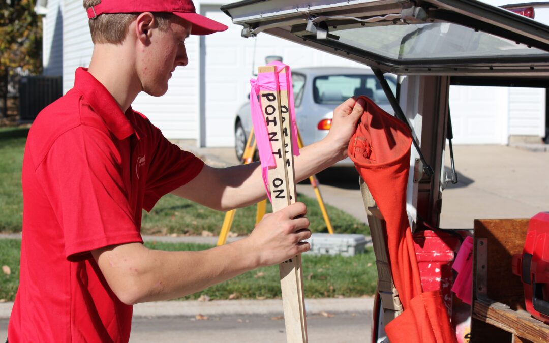
There are many different types of surveys, and each type of survey has its own specific amount of work that must be done in order to produce accurate results. Here are a few of the main types of surveys that are performed along with some factors that can influence the...
There are several purposes for having a land survey performed on your property. Here are a few of the different types of surveys and what their use is: Boundary survey. The purpose of this survey is to determine the location of a property. You frequently have a...
When a boundary survey is prepared, we are typically just concerned with what is happening with the property on a horizontal plane. We don’t take into account the “highs and lows” or elevation change on the property. If you want to know more information about your...
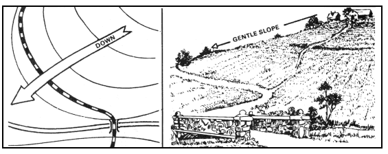
In order to create a contour map or a topographic map, the data and information obtained by the surveyor must be not only horizontally accurate, but also vertically accurate. A single point of reference, called a benchmark is used as a basis for the vertical data...
When a boundary survey is prepared, we are typically just concerned with what is happening with the property on a horizontal plane. We don’t take into account the “highs and lows” or elevation change on the property. If you want to know more information about your...